
Back to propertiesUTT-011-074 / ACTUAL SITE
PLOT 74 / THE CORNER ADDRESS
A corner with room for what comes next.
A 50 ft × 72 ft corner site in Uttara Sector 11, with two adjoining roads stated as 40 ft wide. Explore the actual site and its possibilities.
SELLER ASKING PRICE৳14 Crore Negotiable
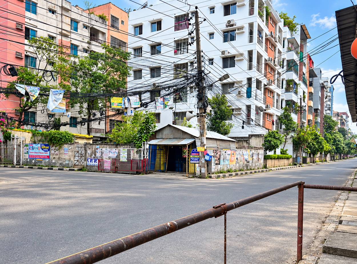
Explore Plot 74 ACTUAL SITE PHOTOGRAPH · CORNER VIEW1 / 3
Uttara, Dhaka · Sector 11 · Road 20AVAILABILITY TO CONFIRMACTUAL SITE PHOTOGRAPH · CORNER VIEW
Plot / Sector 11 · Road 205 kathaSUBJECT TO DOCUMENT & SURVEY REVIEW
01 / THE ADDRESS
A real place. A future still unwritten.
In the familiar streets of Uttara Sector 11, Plot 74 occupies a corner at Road 20. The photographs here show the actual current setting: a simple structure, established surroundings and the daily rhythm of the neighbourhood. The appeal begins with the address itself, then continues with careful on-site and document review.
ACTUAL SITE PHOTOGRAPH02 / THE CORNER
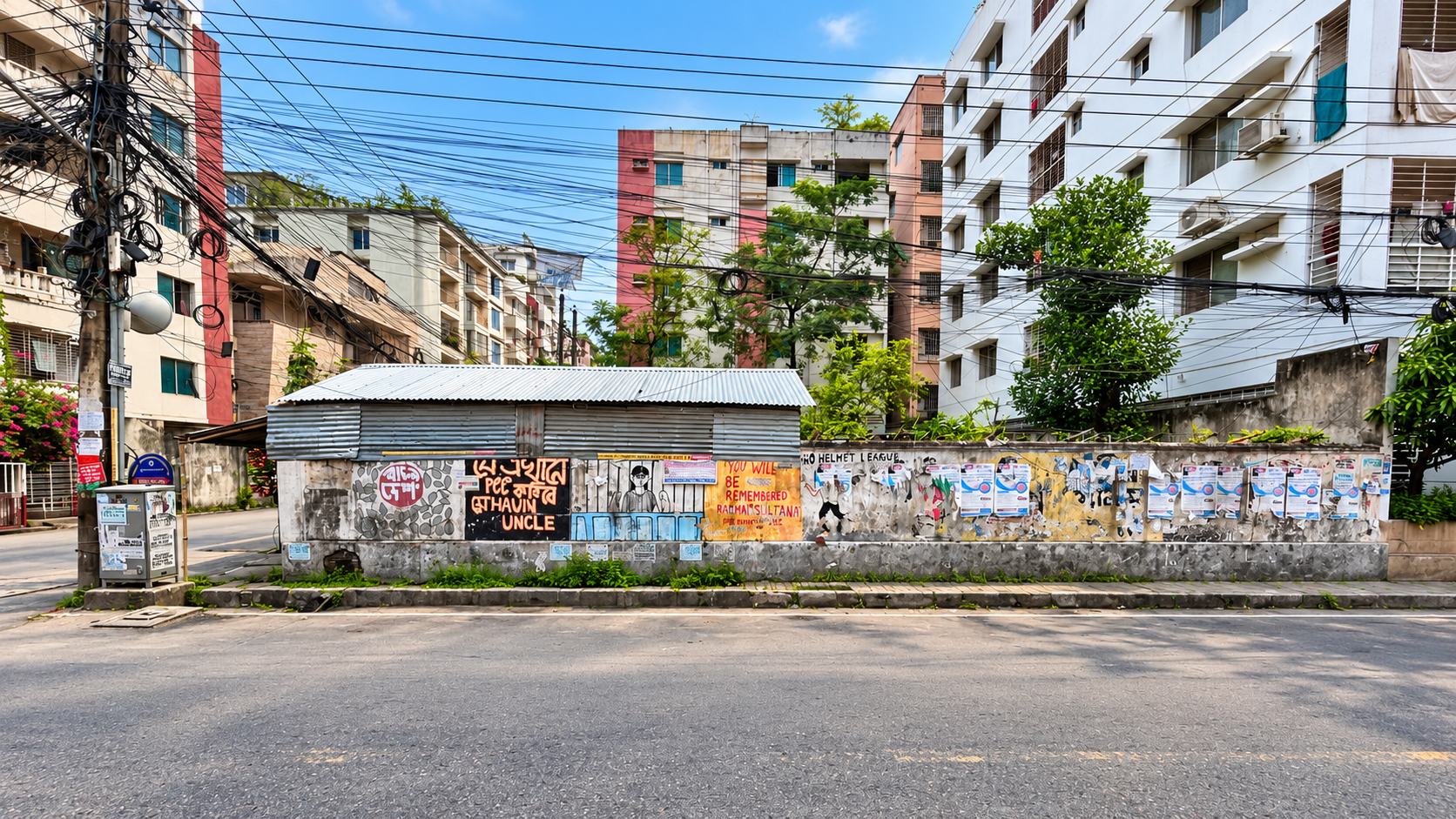
Two roads frame the opportunity.
The supplied site material describes the junction of Road 20 and Road 21. The corner setting may shape arrival, daylight and a future design, subject to a professional survey and applicable approvals. This photograph shows the actual site; visit in person to assess its present condition.
See the measurements03 / THE STREET
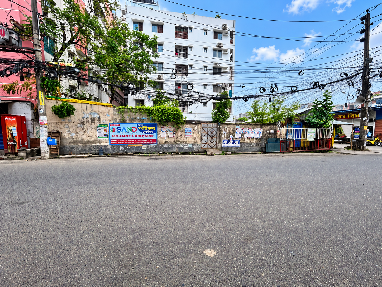
The site as it stands today.
The existing structure and surrounding streets are shown as photographed. Any new use, building form or redevelopment is a possibility to investigate, never an approved plan implied by this presentation.
Arrange a viewing ACTUAL SITE PHOTOGRAPH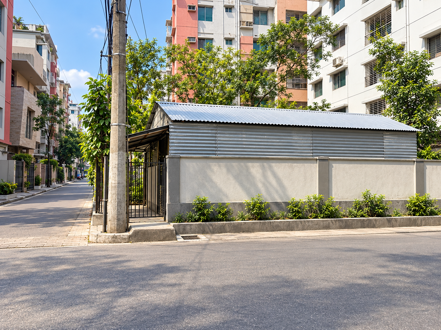 AI-CLEANED VISUAL · NOT CURRENT CONDITION
04 / THE VISUAL STUDY
See the potential, know the present.
This AI-cleaned visual study was prepared from a supplied site image to help imagine the street composition. It removes and changes visible features and does not represent the current physical condition, an architectural proposal, or an approved plan. Compare it with the actual site photographs and visit the site.
Review the site facts05 / THE ARCHITECTURAL DREAM
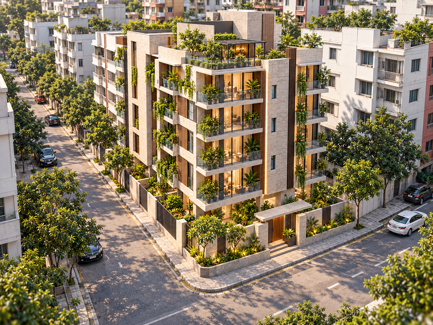
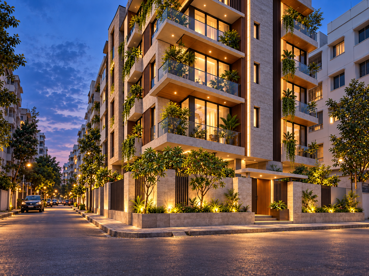
Three views of a possible tomorrow.
AI-generated architectural concepts made for storytelling. They do not depict an existing building, an approved design, permissible height, unit count, or a construction promise. Any project requires professional design and RAJUK approval.
Discuss the possibilities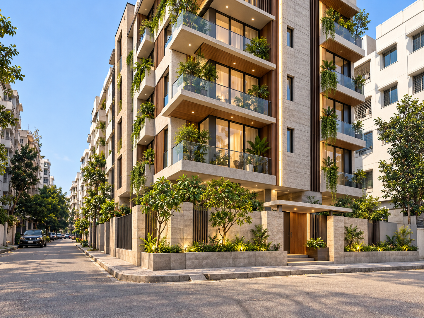
06 / ACTUAL VIEWS
Look closer, then come see it.
These photographs show the actual site and its street edges. A visit remains the best way to assess current condition, access and surroundings.
Request a site visit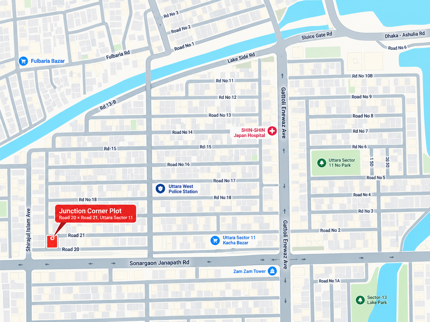 ILLUSTRATIVE AREA DIAGRAM
07 / THE RECORD
Clarity before commitment.
Survey and allotment scans are visible below. Verify physical originals, ownership, transfer requirements and boundaries independently. We can help arrange meetings for those checks.
Discuss the records08 / THE NEXT CHAPTER
Let the place be the beginning.
Explore the address, walk the site, review the records, then imagine what a carefully designed future here could mean for you. No architectural concept or permission is represented as approved.
Start a private conversation N.THE PROPERTY / ACTUAL SITE
The details, considered.
Plot 74 is a 50 ft × 72 ft corner site at Road 20 and Road 21 in Uttara Sector 11. Both adjoining roads are stated as 40 ft wide. The dimensions yield 3,600 sq ft (5 katha). Asking price: ৳14 Crore, Negotiable. Confirm the surveyed boundaries, road widths, title and transfer terms before any commitment.
PROPERTY TYPEPlot
SIZE5 katha
STATUSConfirm availability
GUIDEAsking ৳14 crore · negotiable
LOCATIONUttara, Dhaka
REFERENCEUTT-011-074
At a glance
- 01Actual site photographs
- 0250 ft × 72 ft plot; both adjoining roads stated as 40 ft wide
- 03Supplied survey and allotment scans published; verify originals
- 04Private site visit by arrangement
THE DOCUMENTS / PUBLISHED SCANS
The documents, open for a closer look.
The supplied survey and allotment scans are visible below. Review them here, then independently check the physical originals, current ownership, dues and transfer conditions before any commitment.
01 / SUPPLIED RECORD
RAJUK survey paper
Supplied scan published. Verify the physical original and current records independently before purchase.
02 / SUPPLIED RECORD
RAJUK allotment · page 01
Supplied scan published. Verify the physical original and current records independently before purchase.
03 / SUPPLIED RECORD
RAJUK allotment · page 02
Supplied scan published. Verify the physical original and current records independently before purchase.
04 / SUPPLIED RECORD
RAJUK allotment · page 03
Supplied scan published. Verify the physical original and current records independently before purchase.
LOCATION / SITE PLAN
A corner, measured.
The supplied plot dimensions are 50 ft × 72 ft, yielding 3,600 sq ft (5 katha). Each adjoining road is stated as 40 ft wide. The corner study shows Road 20 along the 50 ft front edge and Road 21 along the 72 ft left edge, following the supplied map reference. Verify boundaries and road widths against the original survey and on site.
Plot dimensions50 ft × 72 ft
Adjoining roads40 ft wide on both sides
Land area5 katha · 3,600 sq ft from stated dimensions
Uttara, DhakaSector 11 · Road 20
ILLUSTRATIVE DIAGRAM · NOT AN OFFICIAL OR SURVEY MAPPLOT 74 / INTERACTIVE EXPLORER
Walk around the possibilities.
Rotate the dimensioned corner model, switch between six views and explore both 40 ft roads. The parcel size follows the supplied 50 × 72 ft dimensions; Road 20 lies along the front and Road 21 along the left edge; surrounding buildings are illustrative.
MODEL BASED ON SUPPLIED DIMENSIONS · NOT A SURVEY OR APPROVED BUILDING PLAN
GOOGLE MAPS / EXPLORE THE ADDRESS
Locate the corner in Uttara.
Explore the live map and the client-marked road and satellite views. The red outline helps locate the address; it does not establish the surveyed boundary.
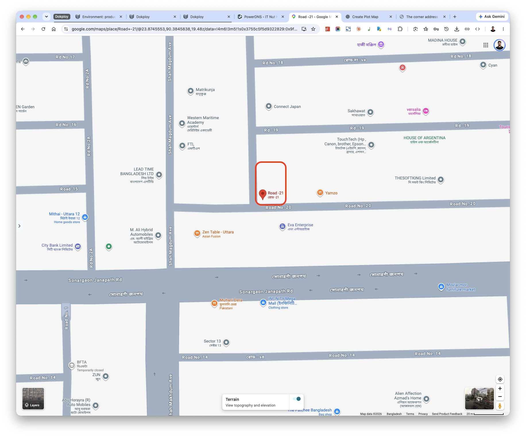
The marked road map
Client-supplied Google Maps screenshot with a red location outline. The outline is not a surveyed parcel boundary. Original Google attribution remains in the image.
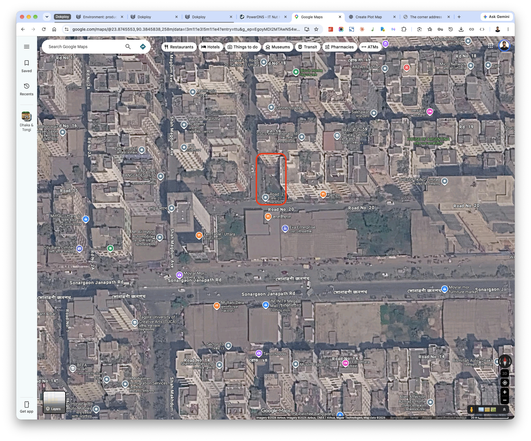
The satellite context
Client-supplied satellite screenshot with the same red location outline. Imagery can change; confirm the site and boundaries in person. Original Google imagery attribution remains visible.
The surrounding street context
Earlier illustrative neighbourhood diagram, kept for orientation. Not a surveyed parcel boundary or official map.
THE NEIGHBOURHOOD / UTTARA
A city of everyday connections.
Driving distances were checked from the supplied plot pin in Google Maps on 9 October 2026. Routes can change; open live directions before travelling.
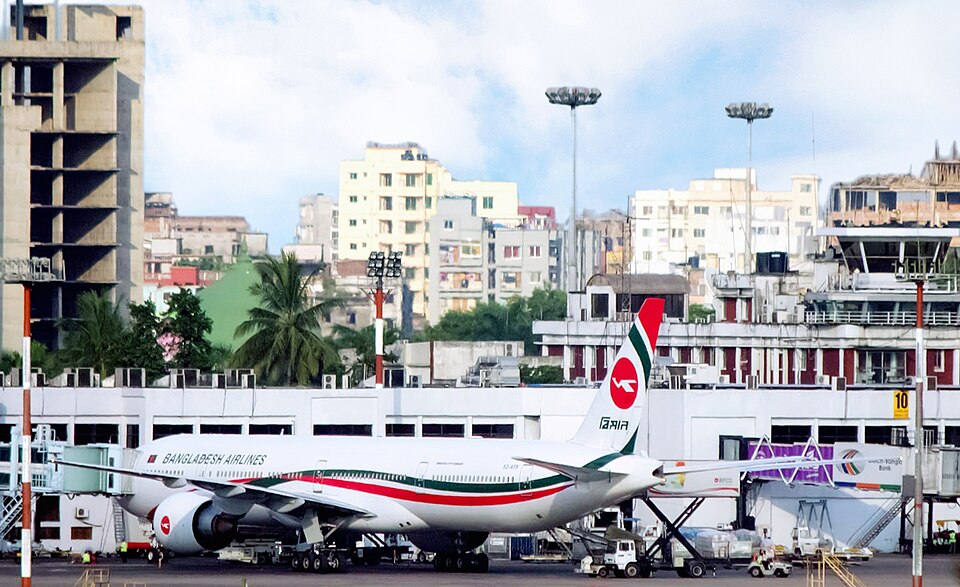
TRANSPORT
7.6 kmAPPROX. DRIVING ROUTE
Hazrat Shahjalal International Airport
From the supplied plot pin, the selected driving route to the airport was about 7.6 km.
Check live directions Md Shaifuzzaman Ayon · CC BY-SA 4.0 · photo source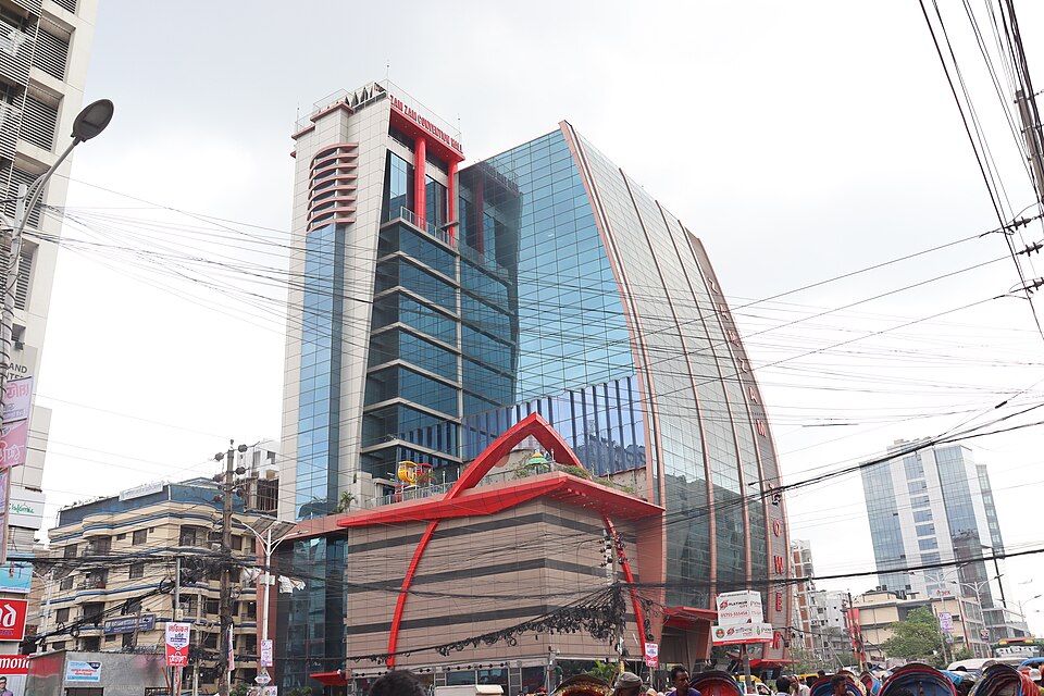
SHOPPING
1.1 kmAPPROX. DRIVING ROUTE
Zam Zam Tower
The selected driving route to this Uttara shopping landmark was about 1.1 km.
Check live directions Wasiul Bahar · CC BY-SA 4.0 · photo source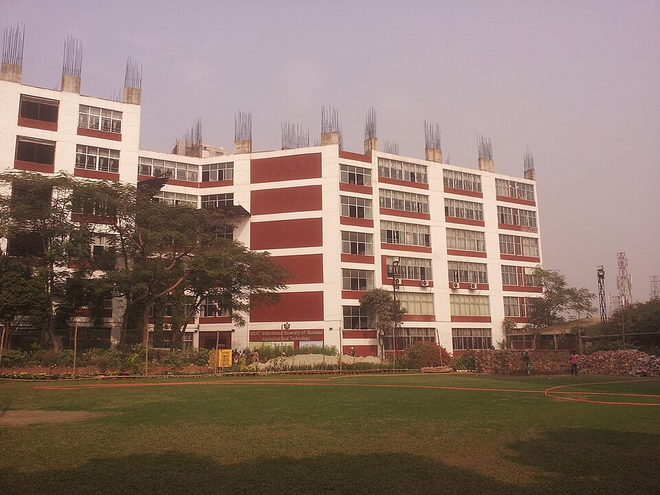
EDUCATION
2.6 kmAPPROX. DRIVING ROUTE
IUBAT Campus
The selected driving route to IUBAT was about 2.6 km.
Check live directions আদিব এহসান · CC BY-SA 3.0 · photo source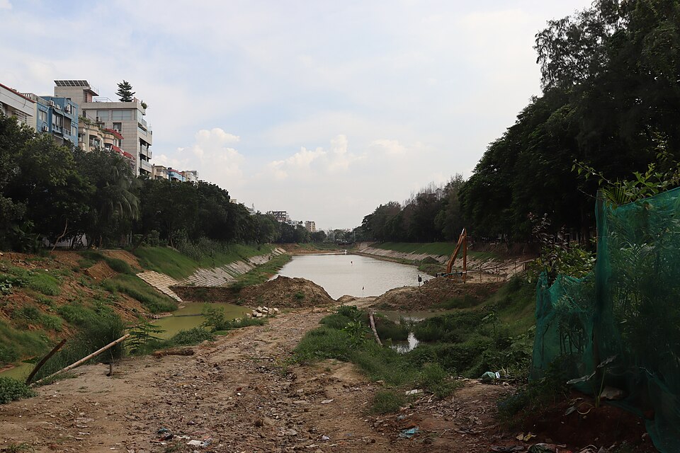
GREEN SPACE
2.1 kmAPPROX. DRIVING ROUTE
Uttara Lake
The selected driving route to Uttara Lake was about 2.1 km. This photo depicts the lake, not the plot or Sector 11 Park.
Check live directions Wasiul Bahar · CC BY-SA 4.0 · photo sourceGoogle Maps · LIVE LOCATION
LOCAL PARK
1.4 kmAPPROX. DRIVING ROUTE
Uttara Sector 11 Park
The selected driving route to Sector 11 Park was about 1.4 km. Explore its live Google Maps location view.
Check live directionsGoogle Maps · LIVE LOCATION
HEALTHCARE
2.9 kmAPPROX. DRIVING ROUTE
Uttara Crescent Hospital
Google Maps showed an approximately 2.9 km driving route to the main hospital at House 21, Road 15, Sector 3. Check live directions before visiting.
Check live directionsGoogle Maps · LIVE LOCATION
DAILY LIFE
550 mAPPROX. DRIVING ROUTE
Sector 11 Kacha Bazar
The selected driving route to Sector 11 Kacha Bazar was about 550 m.
Check live directions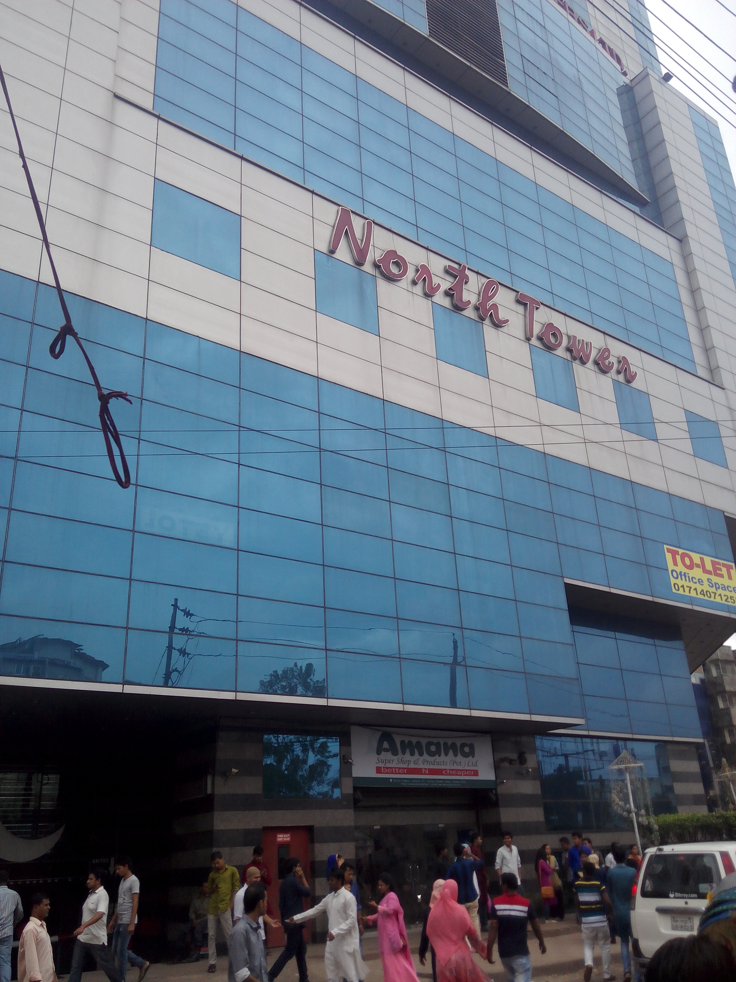
SHOPPING
2.6 kmAPPROX. DRIVING ROUTE
North Tower, Uttara
The selected driving route to North Tower was about 2.6 km.
Check live directions Aashaa · CC BY-SA 4.0 · photo sourceACTUAL SITE PHOTOGRAPH01 / 03
TRUST / INDEPENDENT REVIEW
A good decision deserves clarity.
Supplied RAJUK survey and allotment scans are visible on this page. Their publication is not government verification. Check physical originals, current ownership, transfer permission, dues, measurements and road access with the authority and independent professionals before payment.
We can arrange meetings with independent legal and survey professionals, and help coordinate the necessary authority checks before any commitment.
How verification should workRAJUK area contextSupplied document scans are published here. The ৳14 Crore asking price is Negotiable. Verify ownership, measurements and terms against the physical originals.
YOUR NEXT STEP
See the potential for yourself.
Request a site visit or document discussion. The team will confirm availability and a suitable time.
Request a quoteKEEP EXPLORINGReturn to the collection